

Helping cities unlock the full potential of cycling
by mapping and promoting their safe cycling networks, both on the street and online.

Mapping
Interactive Map
Try zooming in and out
Glasgow Cycle Network Demo
↻
— Cycle Friendly --- Mixed with Traffic

Web Platform
Format network data for advanced analysis and integration with third-party apps.
Assess infrastructure quality against national standards such as CROW Design Manual for Bicycle Traffic (Netherlands).
Share verified routes and data with mapping and navigation apps like Google Maps and MaaS platforms.

Promotion
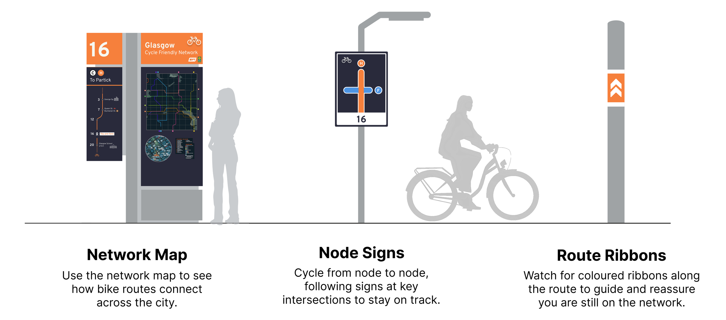
Smart Wayfinding
Low-cost system designed to work with existing infrastructure.
Simple for local riders and tourists, with intuitive coloured ribbons and metro-style maps.
Smart integration with MaaS platforms and apps like Google Maps.


Next Steps

Pilot Studies
Format the city’s cycle network data and analyse against industry standards.
Apply smart wayfinding to one underutilised route and conduct ride-alongs.
Host the active travel data and work with navigation partners for integration.


