Project Story
Formatting & sharing active travel data
Location
Glasgow, UK
Department for Transport, Catapult Connected
Partner
Date
Oct. 24, Mar. 25
Data formatting and sharing
The project focused on developing a standard for formatting active travel data, enabling it to be shared and used by navigation systems. It also demonstrated the value of aligning digital journey planning with physical wayfinding to help riders navigate confidently.
Expertise
-
Standardising and structuring active travel data to make networks routable and comparable across regions.
-
Connecting formatted data to third-party platforms and navigation systems for wider accessibility and use.
-
Developing user-friendly digital tools that help people plan safe walking and cycling journeys.
-
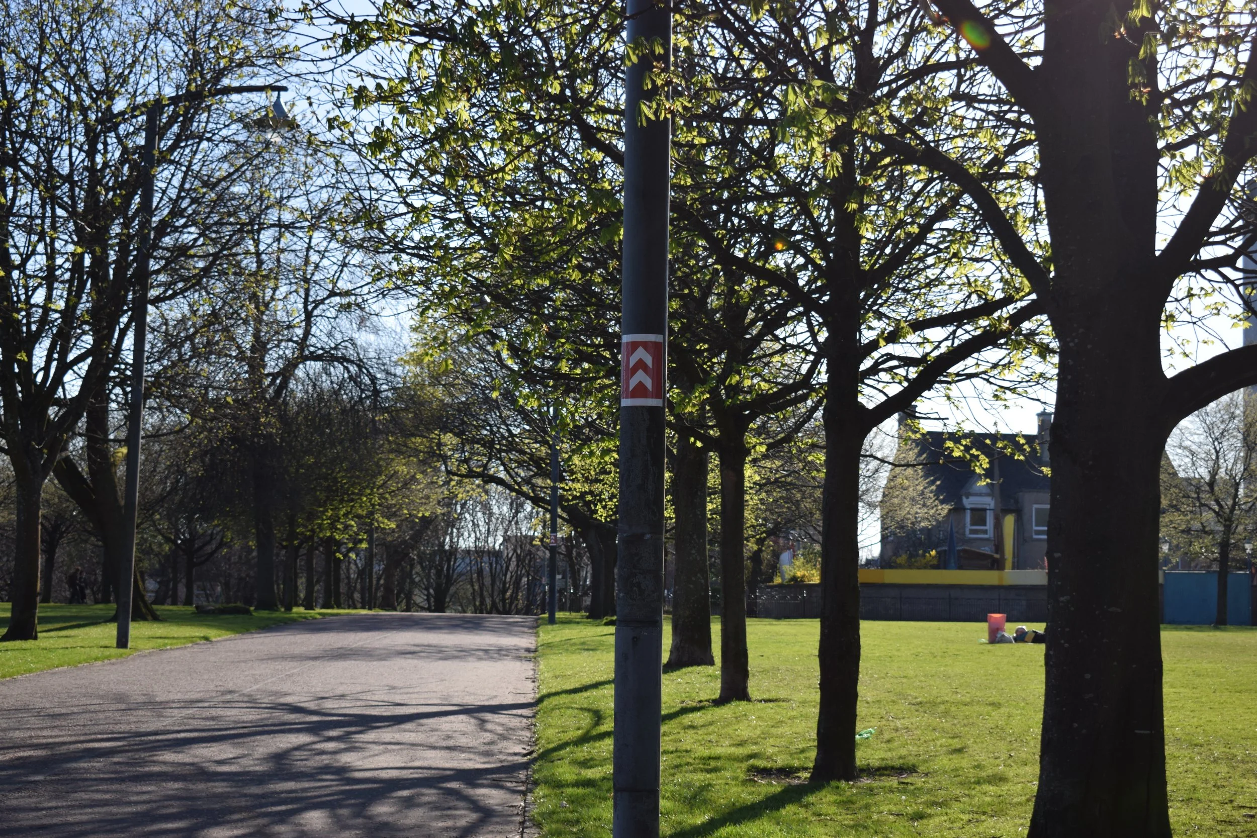
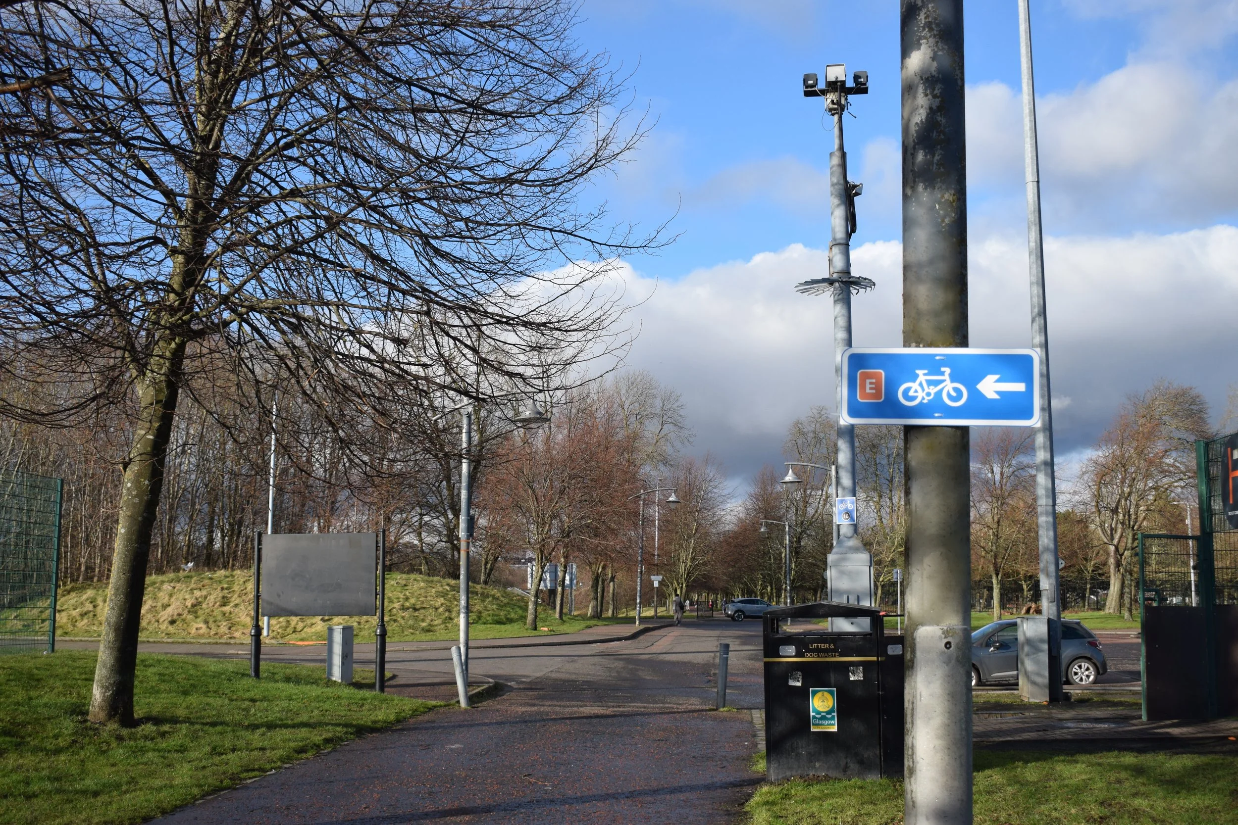
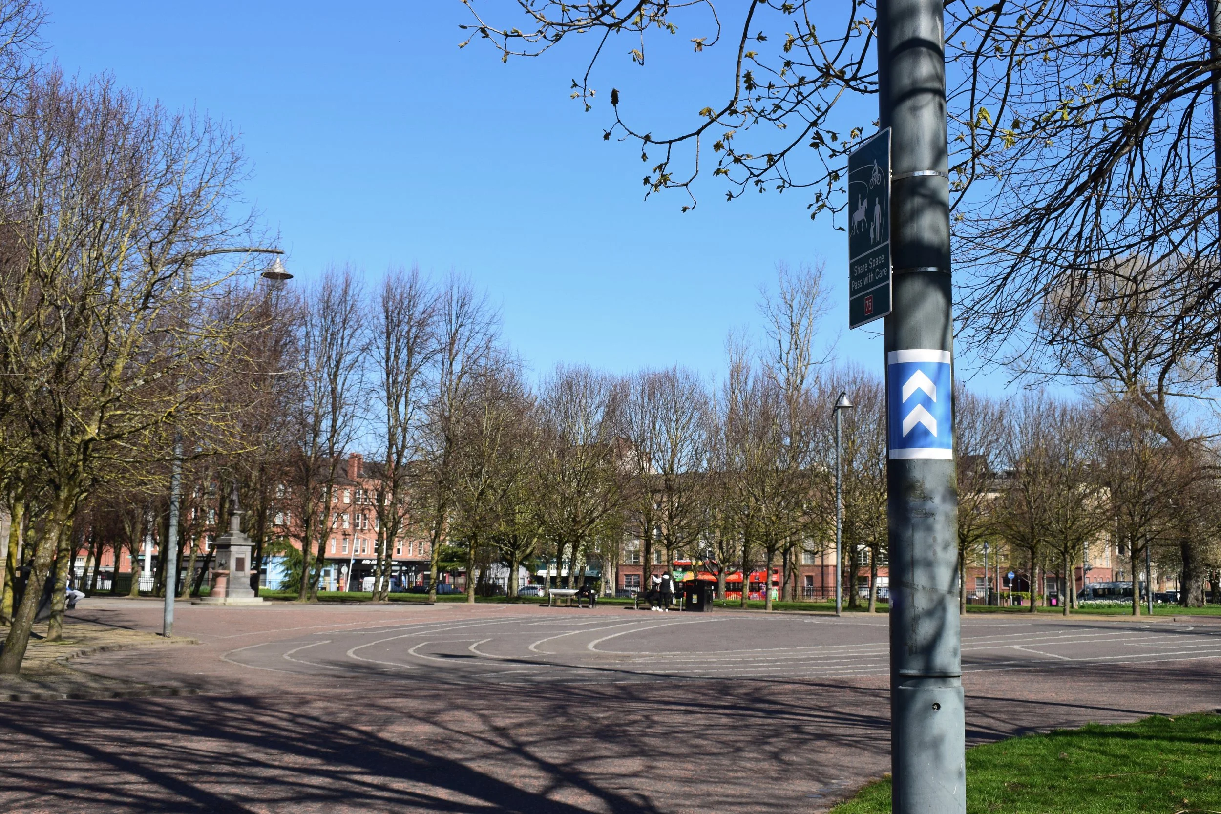
Promoting the network on the ground through clear, intuitive signage that supports navigation.


Project overview
Exploring how cyclists navigate through data and design
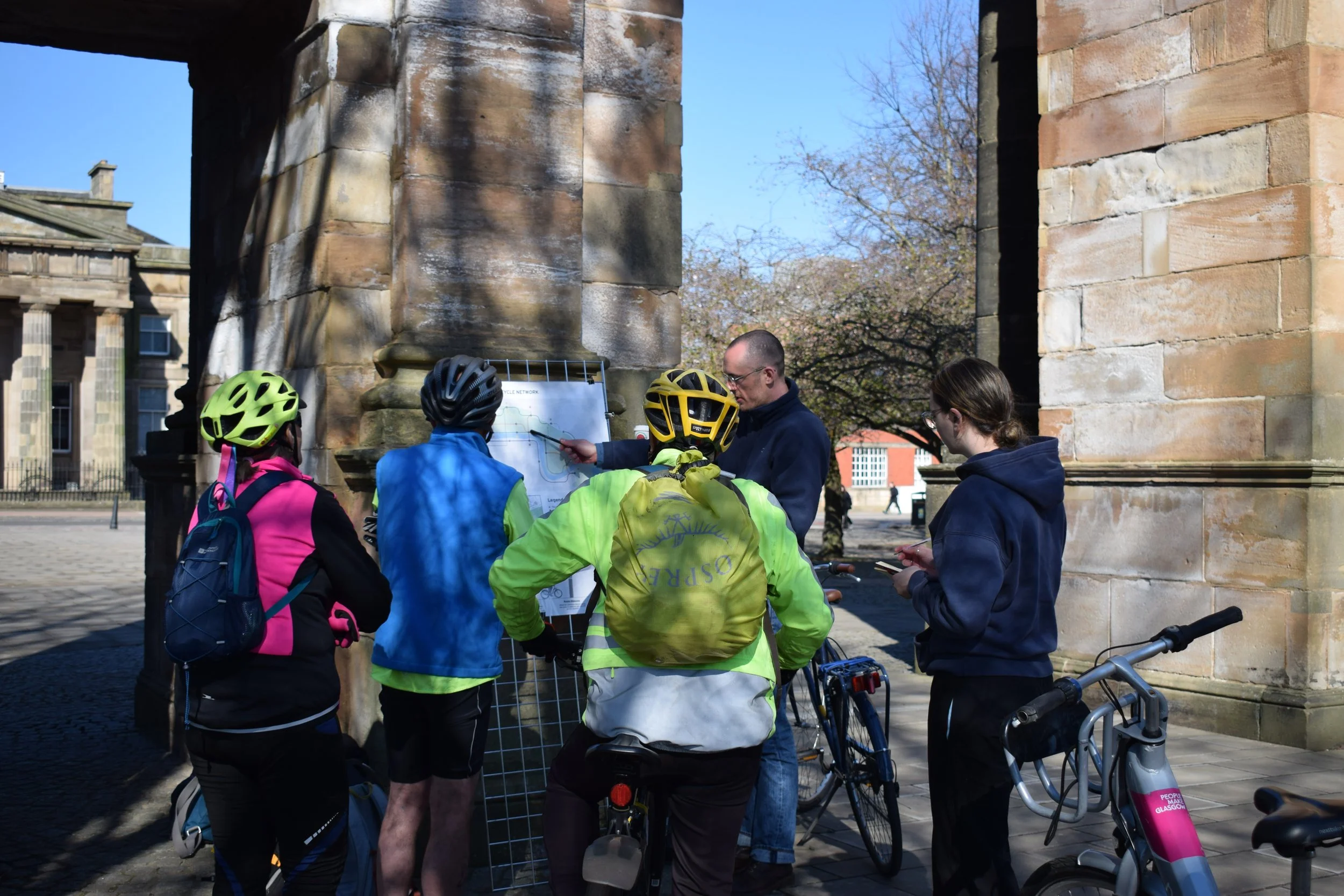
The project involved identifying and mapping a city’s core cycling network, focusing on both existing infrastructure and potential low-traffic routes. Data was gathered through workshops, community input, and on-the-ground audits. A cycling routing system was developed based on this safe network, exploring ways to integrate this data with popular navigation apps. The core components of the system were then tested using two predefined cycling routes in Glasgow Green. Participants navigated these routes using Marked’s app, which provided directions through a subway-style interface (e.g., Green Line for 5 stops, Red line for 2 stops). The test evaluated user interactions with digital prompts and physical signage, capturing detailed feedback on confidence, usability, and information clarity.
Validating data integration and combined wayfinding
With the support of TRIG the Marked team were able to validate their approach to data integration, demonstrate the value of combining digital and physical wayfinding, and establish crucial partnerships with local authorities and transport bodies. The positive user testing and feedback results reinforced the importance of creating intuitive, connected transport systems that enhance the user experience. The project successfully validated its approach to data integration, demonstrated the value of combining digital and physical wayfinding, and established crucial partnerships with local authorities and transport bodies.

Best growth potential Award, TRIG 2024
“Marked has shown strong market potential, with a scalable model, open data strategy, and a product that boosts confidence and clarity for cyclists. It's adaptable across different urban environments, technically feasible, and highly relevant to current transport priorities.
This project stands out not only for its creative integration of digital and physical tools, but for its strategic plan to expand nationally and its ability to secure partnerships that unlock long-term value. Marked is well-positioned for sustained growth and meaningful impact.”
Sarah Sharples, Chief Scientific Adviser for the Department for Transport