Project Story
Mapping and promoting safe walking & cycling routes
Location
Vila Nova de Gaia, Portugal
EiT Urban Mobility, Gaiurb EM, Camara Municipal Vila Nova de Gaia
Partner
Date
Aug. 24, Dec. 24
Area
50km2
Collecting active travel data and providing physical wayfinding
The Vila Nova de Gaia project enhanced the city’s active travel network and supported the MOB+ mobility platform. Using data from the Active Travel Master Plan, workshops, site visits, and open sources, we defined coherent walking and cycling networks showcased on an interactive map. Two routes were then highlighted with colour-coded physical wayfinding to make the network visible on the ground.
Expertise
-
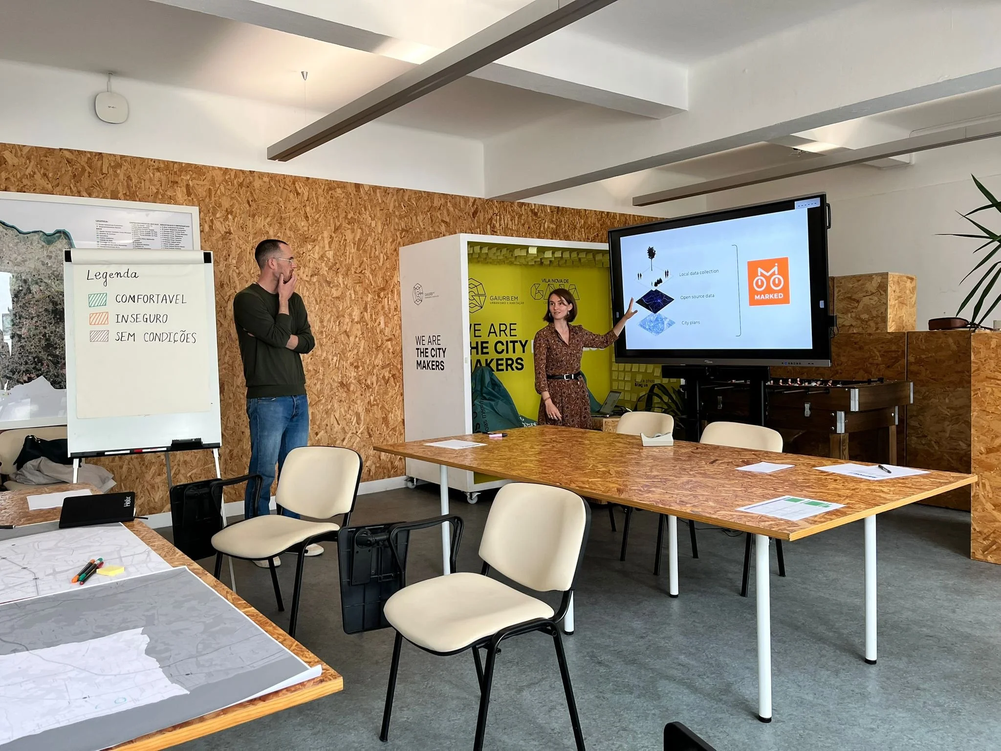
Facilitating workshops and consultations with residents and local groups to gather insights and ground data in lived experience.
-
Capturing detailed network data with 360° imagery to assess safety and identify opportunities for improvement.
-
Designing coherent walking and cycling networks aligned with national active travel standards and best practices.
-
Making routes visible and intuitive through colour-coded signage and wayfinding.


Project methodology
Data collection
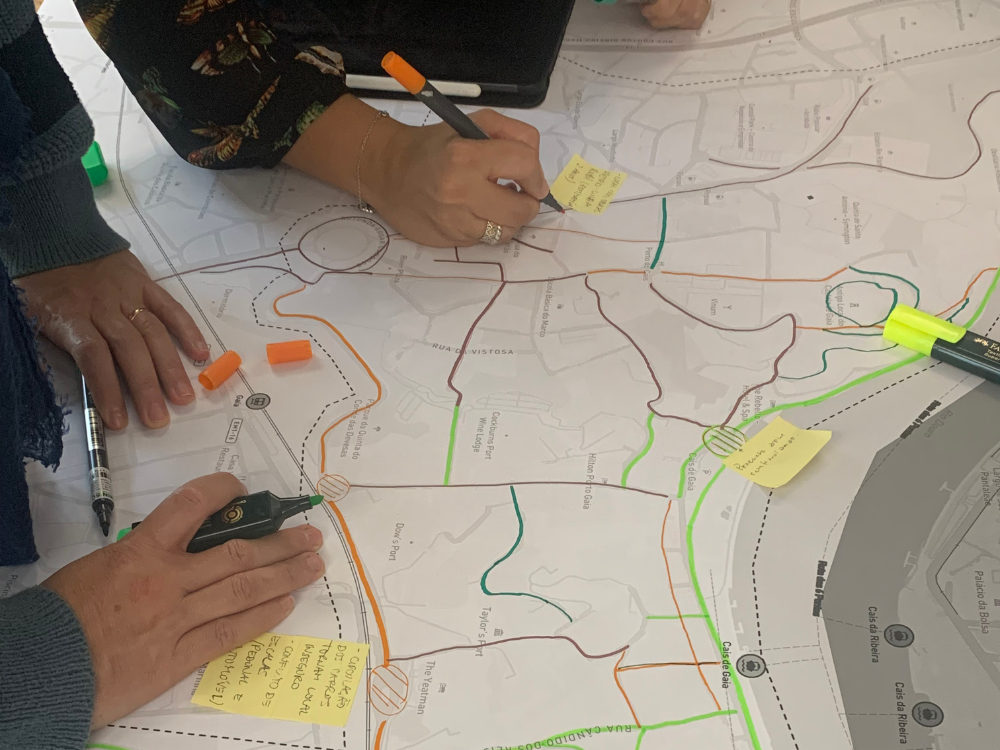
The local mobility platform (Mob+) provided limited information about active travel routes. To fill this data gap Marked merged information from three different sources: city-master plans, open-source data and local data. This enables to capture both planned infrastructure and real-world usage patterns. Series of workshops were organised to collect both quantitative and qualitative insights on preferred and avoided routes. This provided a strong local understanding.

Data verification
Thanks to the extra information collected during the workshops, a first walking and cycling network was defined connecting the key city hubs (schools, shops, transport and work hubs). Verification of this network is essential to ensure the safest network possible. The team cycled the full length of the network, enabling them to run granular analysis following Cycling by Design level of service.
Network promotion
Finally, the project focused on promoting the network both on the ground and online. Wayfinding elements were installed to highlight two key routes, and a digital map platform was developed to showcase the city’s safe walking and cycling network. The underlying data was also shared for integration into the local mobility platform, MOB+. Together, these tools helped overcome the information gap about where safe routes are located.